Scenic Route from Queretero to Patzcuaro
This is about 3 hours longer than the Salamanca Quoto
and is a favorite scenic way to drive that from Queretero to Patzcuaro.
Once past San Luis Potosi, follow signs towards Queretero and not by-pass to Mexico. Halfway around Queretero, skip road to Celaya-Quoto and turn right on Celaya-Libre, the free road towards Celaya . After a quarter mile, follow the sigh and take another right turn loop onto main road. (Both are highway #45.)
This 6 lane divided highway, goes to 4, and soon into a 2-lane blacktop with good speed maintained.
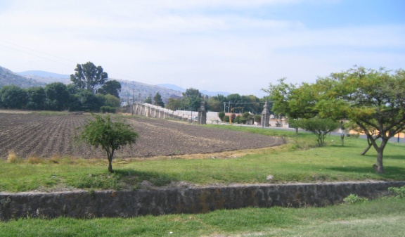
 First town, San Bartolome, has traffic stopping from people selling food at topes, (speedbumps.)
In "El Sabino," just past marker 25 KM, and just before Apaseo El Alto, is a well marked intersection to Jerecuaro. Turn left and go 4.2 miles to another well marked intersection and turn left to Jerecuaro.
After 19 miles, enter Jerecuaro and pay attention. Notice low blue sing saying "Unidad Deportista" on right. Then a store on right named, Asesorios Automotrices Benja" across the top. Turn right just before the silver-balled speedbumps onto a small, often one lane road. At fork in road, turn right. Shortly, notice sign saying Acambaro with arrow pointing straight. The sign is bent, so turn right.
As you near Acambro, follow by-pass signs towards Tarimora - Celaya. Signs appear for Morelia and follow them. At Mexico (City) - Guadalajara toll road, go towards Guade, and then notice signs to Morelia.
After entering Morelia, the Pereficuro will have signs to right saying Patzcuaro.
Go half-way around, and take Patzcuaro exit.
Patzcuaro to Querétaro
Leave Patzcuaro on the Morelia Cuota. When you enter Morelia, follow signs to Mexico (City) or Salvatierra. Follow signs and new way may involve turning right, then making a U-turn, back the other direction. Follow the Periferioco around to signs for Mexico-Guadalajara or Salvatierra and exit.
Outside Morelia, drive about 26 miles to the Cuota and turn towards Mexico. Past KM204, before the major toll booth, slowly exit to the right at exit marked Acambaro and pay the 44 pesos cuota.
ACAMBARO TOLL BOOTH TO ACAMBARO BYPASS. 14 km, 12 minutes
From toll booth follow the signs for ACAMBARO, you will pass through one or two small “tope towns” which do not slow you down that much, 5 topes in total. Go past BIENVIENDAS ALCAMBRO and turn LEFT at the Pemex station on the left hand side. Follow the signs for Celaya-Salvatierra.
It's about 14 km, 9 miles, 12 minutes.
ACAMBARO BYPASS (PEMEX) TO JERECUARO, 47 kms, 44 minutes
From PEMEX go 7.9 km, 4.7 miles, to traffic circle, go straight through the traffic circle towards Jerecuaro.
Go 3.1 km, 2 miles, cross over railroad tracks, and go towards TARIMORA and Mexico City.
In 1.8 miles, turn right to Acambaro. Follow the signs for Chupicuaro and Jerecuaro. Jerecuaro is about 33 km from this point, you have to go through the town of Chupicuaro, but it is a small, non congested town with a very clean Zocalo. If you want to stretch you legs, stop at the Museum on the right as you enter Chupicuaro. There is a sign for it in the center island. It is free and will only take a few minutes to see, but it has some interesting information on the Indigenous history of the region.
Road is fairly straight for stretches, 2 lanes undivided, scenic lake (Dam.)
Turn right in Chupicuaro towards Jerecuaro.
JERECUARO TO QUERETARO 65 KMS, 50 MINUTES
As you enter Jerecuaro, this is the only area where you have to enter congestion,
other than Morelia and Querétaro themselves......but it is a small city, not that bad.
Upon entering the town of Jerecuaro, there will be a blue road sign with arrows pointing to several cities go left, towards Apaseo del Alto. It will seem like you are on a one way street, at times going against traffic, keep going straight, you might have to stop and wait for an oncoming car to go around a parked car, do not fret. You will wind through the outskirts of the town, passing a municipal ball field on your left. Shortly thereafter, in 1.2 miles, turn left towards Apaseo del Alto, go left.
From Jerecuaro, after driving 33 kms, 21 miles, towards Apaseo, you will come to a big intersection with buildings, go right towards Querétaro. After turning right, there is a lady selling fruit in a small stand,
the fresh mango cup is excellent, 10 pesos.
Go 5.8 km, 3.5 miles, and at the T- intersection, turn right towards Querétaro.
After turning right, notice a sign to the right to SAN LUIS POTOSI.
This road is not on any map and I ignored it. Anyone know about it?
Follow signs to Querétaro. San Bartolome has tope traffic from people selling food at speedbumps.
Drive until you notice signs to Mexico Cuota.
Drive past and go under bridge, turning right to San Luis Potosi.
The free road can get congested, but it should not be too bad, you are only 24 kms from the Liverpool mall here. It can take from 15- 25 minutes from this point, depending on traffic.
Road goes from 2 lanes, to 4, to 6, to 8 lanes.
Ray wrote this and generously passed it around. His drive time for was around 2 ½ hours.
I added notes, comments and mileage, since he had KM.
Please let me know if corrections are needed.